
GRIZZLY RIDGE
Climb from basin floor to crest the Diamond Rim, with sweeping views over Vernal, Red Fleet, and the Unitas Range.

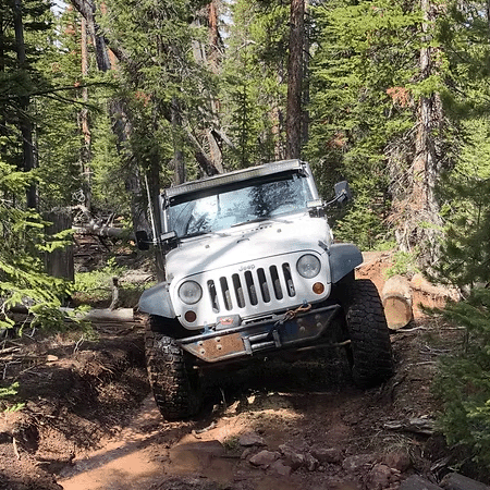
The Grizzly Ridge Trail begins west of Vernal at the basin floor, starting at approximately 5,500 feet in elevation before climbing the north face of the Diamond Rim. The route gains elevation steadily, cresting near 8,000 feet and opening up to sweeping views of Vernal, Steinaker Reservoir, and Red Fleet Reservoir to the south, with the Uinta Mountains stretching to the north. From there, the trail follows Forest Service roads through the Range Study area, briefly crossing Highway 191 before continuing the climb on rocky mountain two-track routes.
The trail reaches the Grizzly Ridge Yurt, situated above 9,000 feet in elevation, where the group will stop for lunch. Afterward, the route continues along scenic mountain two-track roads to the Dyer Park Overlook, offering additional high-elevation views. A short stop at the Little Brush Creek Cave entrance follows before the group returns to Vernal via Highway 191. This trail is stock 4x4 friendly, with an optional side climb to Grizzly Peak recommended for vehicles equipped with 31-inch tires and a limited-slip differential.